
Honolulu ZIP Directory Coverage
Honolulu ZIP codes with a 968 prefix include ordinary neighborhood routes, post-office-box routes, and unique institutional or military routes. The working list below reflects USPS documentation captured in the Honolulu research. It is a routing inventory, not a list of residents. Dense urban districts can share one postal name while using different codes, and one code can serve several familiar place names. Always confirm a current address with the USPS ZIP Code Lookup before using a code in another public record.
| ZIP | Honolulu area or route | Postal character | Research note |
|---|---|---|---|
| 96813 | Downtown and civic Honolulu | Street delivery and boxes | City and state offices appear here |
| 96814 | Ala Moana and Kakaʻako area | Street delivery | Dense mixed parcel patterns |
| 96815 | Waikīkī and nearby coast | Street delivery | Many condominium address IDs |
| 96816 | Kaimukī, Kapahulu, and Diamond Head area | Street delivery | Neighborhood names do not set the line |
| 96817 | Nuʻuanu, Liliha, and Chinatown area | Street delivery | Historic and modern addresses overlap |
| 96818 | Salt Lake, Moanalua, and airport area | Street delivery | Military and civilian routes meet |
| 96819 | Kalihi and airport-industrial area | Street delivery | Includes business and parcel records |
| 96822 | Mānoa, Makiki, and Punchbowl area | Street delivery | Institutional routes may differ |
| 96825 | Hawaiʻi Kai and East Honolulu | Street delivery | Postal and civic districts diverge |
| 96850 | Federal agencies in Honolulu | Unique route | Not a neighborhood resident list |
| 96853 | JB Pearl Harbor Hickam | Military route | Preferred last line changed from Hickam AFB |
| 96858–96861, 96863, 96898 | Military or institutional destinations | Special or unique routes | Verify the exact destination with USPS |
The complete 968 inventory also includes other Honolulu street-delivery and box codes. A long table can still age when the Postal Service realigns delivery. The safe practice is to retain the code found on the source record, date the search, and verify the present mailing format. The 96862 example is especially instructive: USPS material aligns it with Waipahu 96797, so a 968 prefix alone cannot define urban Honolulu.
Honolulu Records Span Oʻahu
Honolulu is legally coextensive with Honolulu County, which covers all of Oʻahu. That public-record geography is broader than the Honolulu postal last line. Kāneʻohe, Kailua, Waipahu, Pearl City, the North Shore, and Leeward communities commonly use 967 codes, yet the same Honolulu Real Property Assessment Division, Department of Planning and Permitting, elections offices, and First Circuit court system serve them.
This is the central geography rule for a Honolulu ZIP code directory. A 967 address may still belong in a City and County of Honolulu search. Conversely, a 968 route may be a special institution rather than a walkable neighborhood. Use the postal code to sort mail, then use the agency's actual jurisdiction to choose the record keeper.
Note: City, county, Census, postal, parcel, and Neighborhood Board boundaries answer different questions and should never be treated as interchangeable.
Verify Honolulu ZIP Addresses
The USPS tool accepts a street address or a city and state and returns the Postal Service's preferred mailing form. It can correct the city line, add a ZIP+4, or show that an address belongs to a different last-line name than expected. It does not identify a resident, prove occupancy, or establish ownership.
The official Hawaii prefix reference groups 967 and 968 routes in the state. The successful page capture below comes from the USPS three-digit ZIP prefix reference.
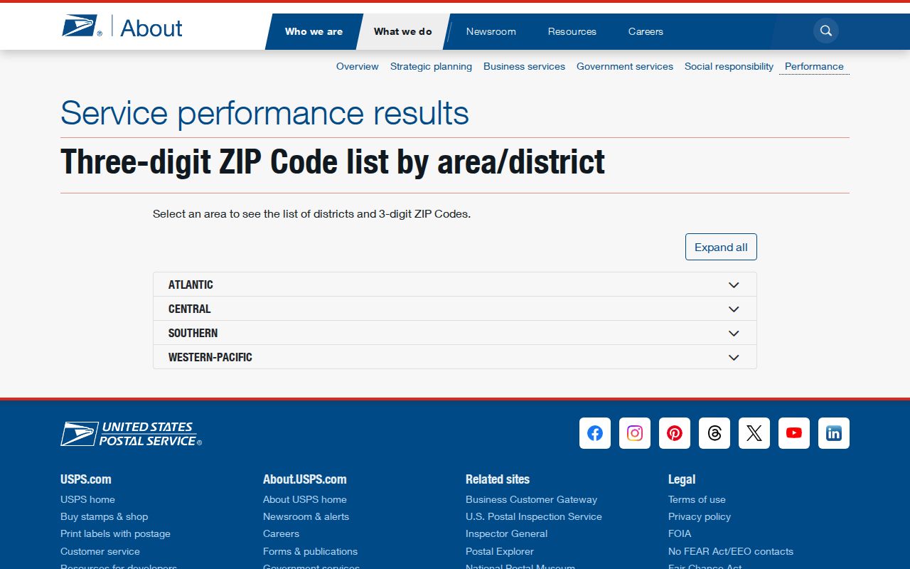
The image supports the routing distinction, but the live lookup remains the right source for one current address. Save the standardized result before moving into parcel or voter records.
Find Honolulu Residents by ZIP
Official Honolulu systems do not offer one broad resident list filtered by ZIP. RPAD documents searches by owner, site address, and TMK, but the research did not verify a ZIP-wide filter. The Bureau of Conveyances is indexed by parties and land identifiers, not as a postal directory. Hawaii's voter self-service screen uses a residence city and ZIP to confirm or update the user's own registration; it is not a public search for everyone in a postal zone.
- Standardize the known address with USPS and record its current ZIP and ZIP+4.
- Open HoLIS or RPAD with the street address, then retain the TMK, site address, and parcel identity.
- Use the owner name only as a lead. Confirm title through the Bureau of Conveyances when ownership matters.
- For election records, ask Honolulu County Elections what purpose-limited public list is available. Do not treat OLVR as a public name search.
- Once the area is narrowed, use the Honolulu street directory for address-level research.
This workflow preserves what each key means. A ZIP is for mail, a TMK identifies tax-map property, and a voter district describes election administration. None of them, by itself, confirms every person at a home.
Honolulu ZIP Search Fields
The Hawaii Online Voter Registration system provides a useful example of where ZIP appears in an official form. The fields below are identity and registration fields for the voter, not a public ZIP directory query.
| Field | Use | Access note |
|---|---|---|
| Residence address | Physical Oʻahu residence | A PO Box cannot replace it |
| Apartment or unit | Separates units at one base address | Used when applicable |
| City and ZIP | Postal and district processing | Required on registration |
| Mailing address | Receives mail when different | Not proof of residence |
| Name, birth date, ID credentials | Matches the voter | Restricted identity data |
The Office of Elections registration page explains the online and paper channels. The captured page shows those official routes.
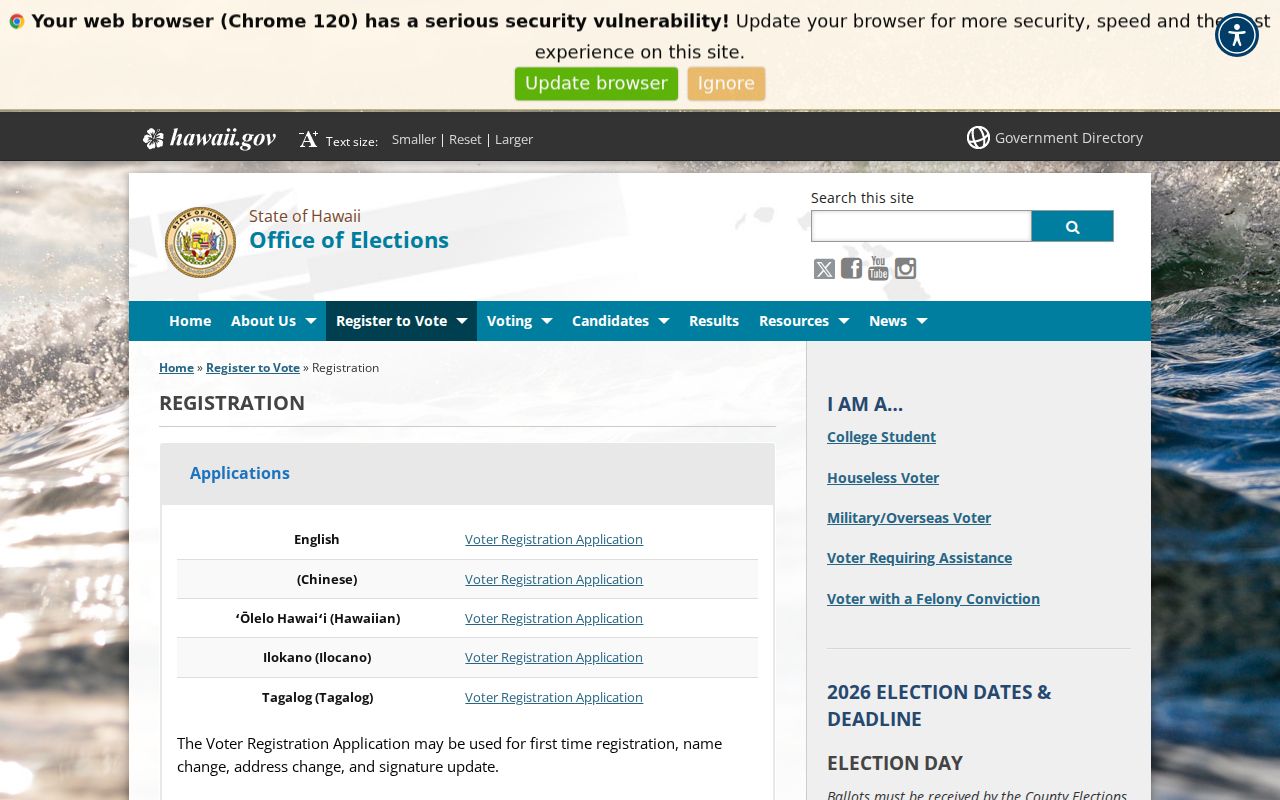
If the online identity match fails, the documented fallback is a paper application or County Elections contact. Honolulu County Elections can explain current lawful access to public name, district, precinct, and status fields.
Special Honolulu ZIP Routes
Several 968 codes serve federal, military, or other institutional destinations. The 96853 preferred last line changed from Hickam AFB to JB Pearl Harbor Hickam. Codes in the 96858 through 96861 range, along with 96863 and 96898, also illustrate routing designed around institutions rather than conventional neighborhoods.
This corrects a common myth: every ZIP code is not a residential district. A unique ZIP can belong to one organization, while a box-only route may not map to front doors at all. A Honolulu ZIP code directory should label that distinction before anyone tries to infer nearby households from the code.
Honolulu ZIP and Civic Districts
Neighborhood Boards provide civic boundaries, public agendas, minutes, resolutions, and board profiles. They are useful for understanding the public life around an address, but they are not parcel maps and do not publish a private household roster. The Neighborhood Commission Office board list is the official starting point.
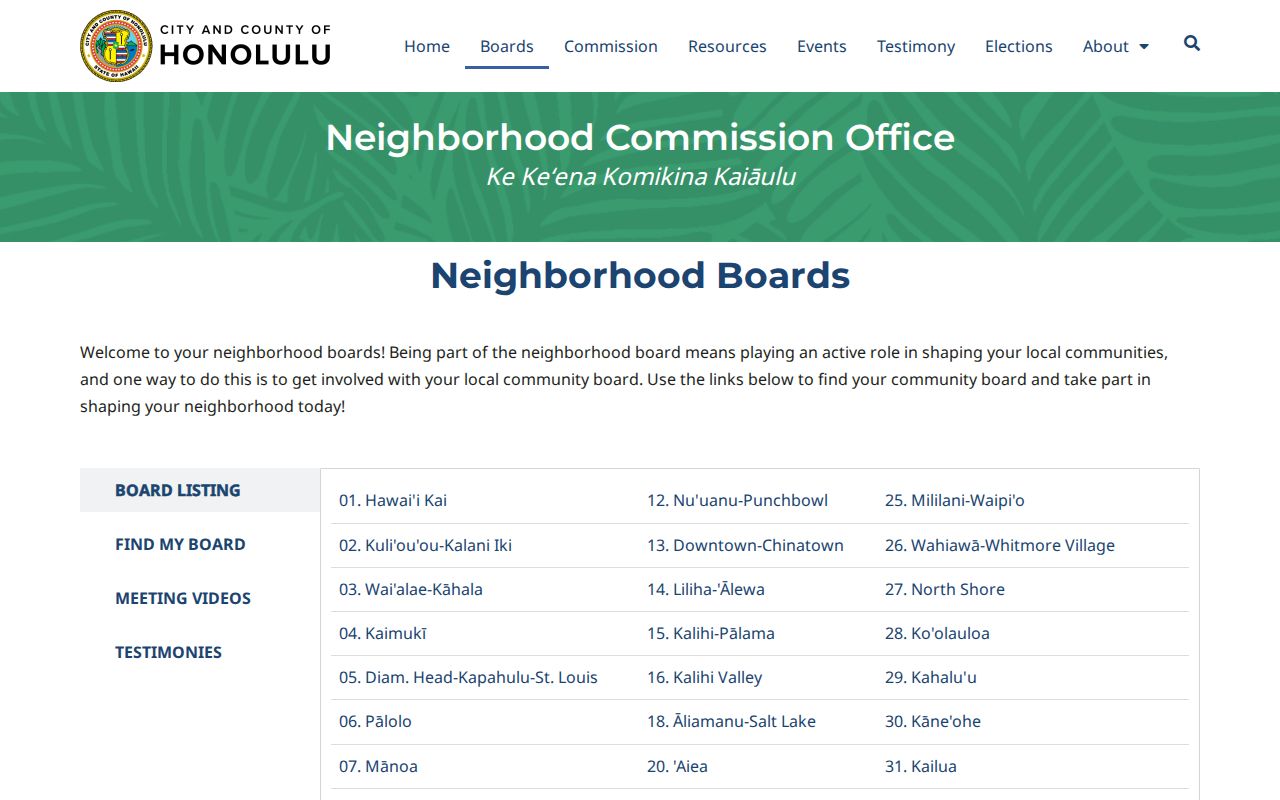
One block can sit within a ZIP delivery area, a tax parcel plat, a Census tract, and a board district whose lines do not match. Keep each label beside its source. That practice prevents a board name from being mistaken for a USPS city or a legal property boundary.
Honolulu ZIPs Versus City Limits
Postal boundaries are drawn for delivery, not to mark the legal edge of Honolulu. The City and County reaches across Oʻahu, including many communities whose addresses use 967 codes and their own preferred city names. Census products add another layer by distinguishing Honolulu places and communities even though the legal city and county are coextensive.
- ZIP and ZIP+4
- A ZIP sorts a broad delivery area. The extra four digits narrow mail to a smaller segment, building, or group of boxes.
- PO-box ZIP
- A code chiefly assigned to post-office boxes rather than ordinary street delivery.
- Unique ZIP
- A code assigned to a large institution or agency instead of a general neighborhood.
- Carrier route
- A delivery path within a ZIP. It is an operations unit, not a city or parcel boundary.
When a historical directory predates modern ZIP codes, bridge the address with its street name, directory index, map, TMK, and legal description. Do not add a current code to an old entry as though the source printed it.
Limits of Honolulu ZIP Counts
No official, current per-ZIP resident count or named voter export was captured in the research. Census counts use statistical geography that does not cleanly equal postal zones. Election statistics may be released by precinct, and those counts describe totals rather than named residents. Inventing a population for a postal code would blur three systems.
Keep the source attached. Date each Honolulu ZIP result and preserve whether it came from USPS, RPAD, HoLIS, Elections, Census, or a Neighborhood Board.
A commercial directory may group names by an estimated ZIP, but its data can be stale and its boundary logic is often unclear. Official sources are narrower, yet they state the custodian and purpose. Use them for lawful personal research and confirm material facts with the office that holds the record.