
Walk a Honolulu Street
A street search is strongest when the same address is carried from one official system to the next. Start with the Honolulu property search, where a site address can lead to the parcel number, also called the Tax Map Key or TMK, and the fee owner shown for assessment purposes. Next, place that TMK on the city parcel map. The map keeps similarly named streets, condominium units, and neighboring lots from being mixed together.
Then move from the parcel to the records that explain it. Honolulu deeds are held by a statewide recorder, not a county clerk. Permit records can date changes to the structure. A lawful voter-record request may add limited residence evidence, while an old street index or criss-cross directory can identify a past subscriber at an address. Follow this order:
- Search the exact site address in RPAD/qPublic and save the TMK, fee owner, and legal description.
- Open HoLIS or the Regulatory Parcel Selector, locate the polygon, and note adjacent parcel numbers.
- Use the current owner and legal land details in the Bureau of Conveyances index.
- Check DPP permits by TMK or permit number for dated work and named project parties.
- For older occupants, bridge the address into Honolulu directory and archive collections.
This sequence separates ownership, project involvement, and occupancy instead of treating them as the same fact. Research focused on one historical household can continue in the Honolulu past residents record trail.
Honolulu Street Parcel Fields
RPAD distinguishes the physical site from the address used for tax mail. That distinction matters. A care-of line, PO box, or off-island mailing address does not prove the owner lives away from the parcel, and a homeowner exemption alone does not prove present occupancy. The city also warns that assessment data is general information, not a title record. Use it to identify the parcel, then use a recorded instrument for legal ownership.
The official materials verify three practical search modes. Exact dropdown choices on the live vendor screen were not fully available, so the Honolulu street directory should not promise a ZIP-wide owner list or unverified advanced filters.
| Search entry | Type | What to record | Important limit |
|---|---|---|---|
| Site address | Street text | Matched parcel and situs | May differ from mailing address |
| Owner name | Name text | Fee owner or listed interest | Does not establish occupancy |
| Parcel ID / TMK | Number | Stable parcel key | Condo divisions may add digits |
The city-linked property search screen is the official starting point for this by-address work.
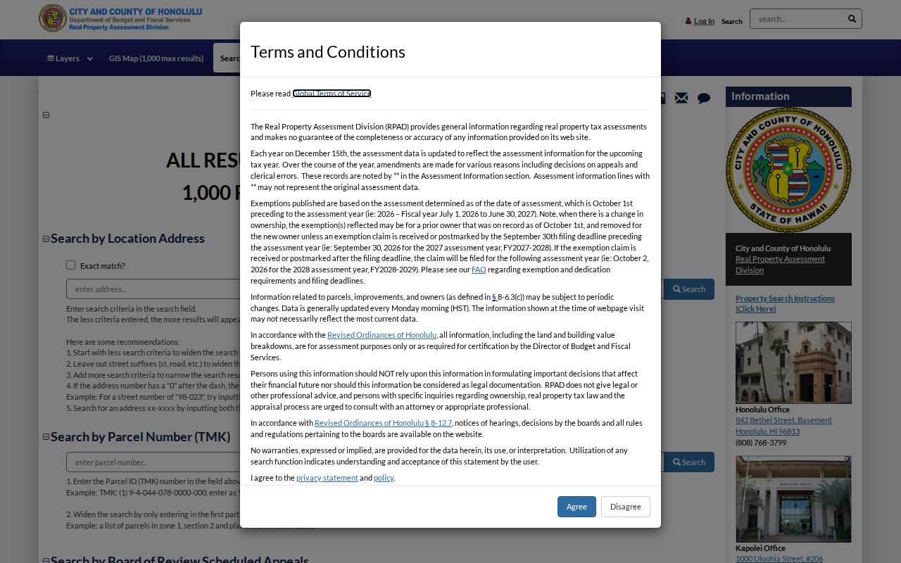
The screen is a front door, not a deed. Save the parcel key and confirm title through the Bureau of Conveyances.
Note: RPAD records generally update on Monday, so date every saved parcel result before comparing it with a newer filing.
Map Honolulu Streets by TMK
Honolulu property geography is map-sensitive. One place may have a postal address, a tax parcel, a regulatory parcel, a condominium unit, a legal lot, and a Neighborhood Board district. HoLIS lets a researcher click or pan along the street, read parcel labels, and capture the next TMK. The Regulatory Parcel Selector accepts TMK, address, place, latitude and longitude, or a click on the map. It also supports street basemap, imagery, identify, draw, measure, and print tools.
Use the Honolulu Regulatory Parcel Selector to confirm that a result sits on the intended block.
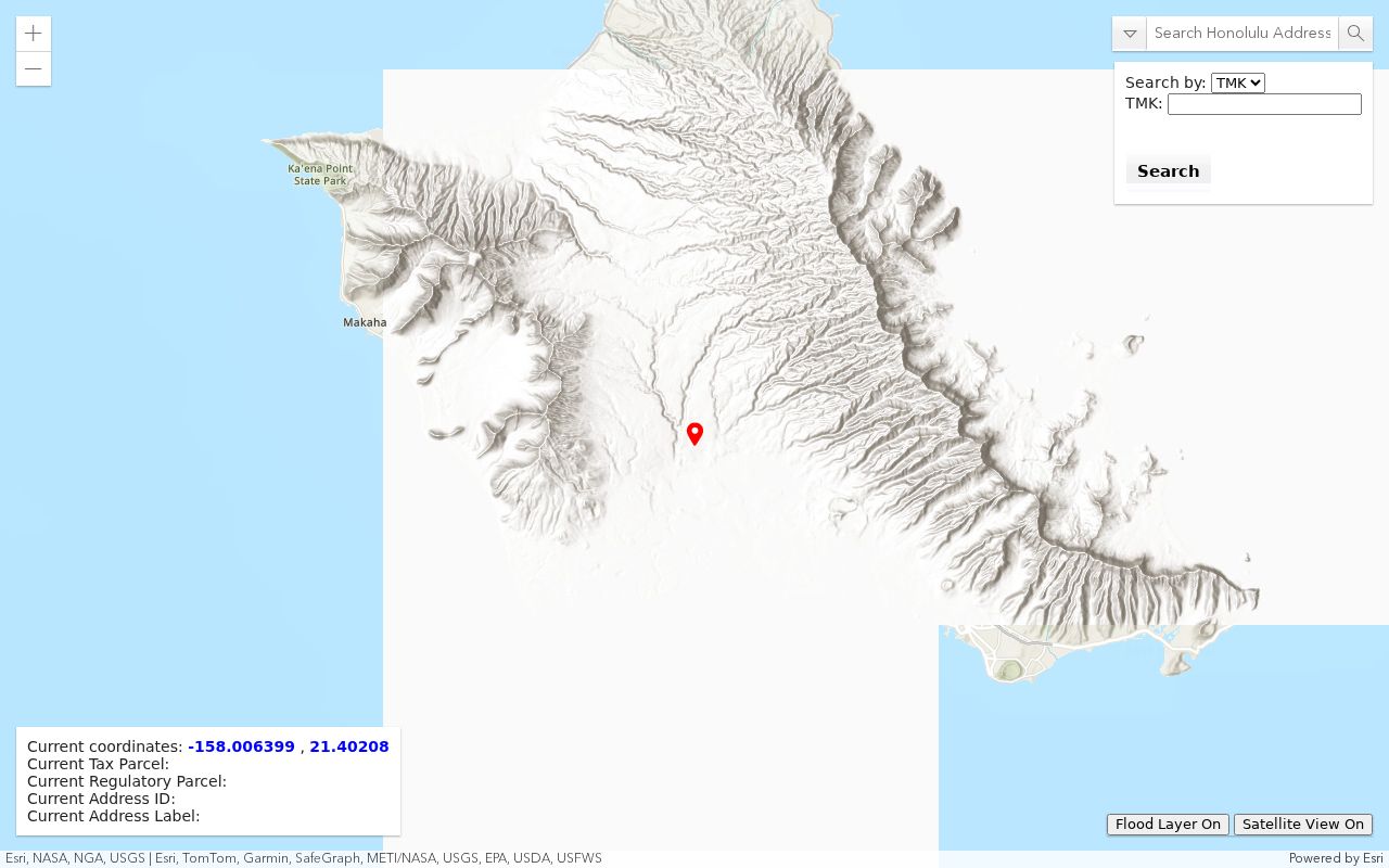
The map makes adjacent polygons visible, but it is not a survey or legal document. A clicked label must still be checked against RPAD and the deed description.
- Parcel
- A mapped unit of land used for assessment and record links.
- Situs address
- The physical location assigned to the property, distinct from the tax-mailing address.
- Plat
- A recorded map that lays out lots, boundaries, and related land details.
- Criss-cross directory
- A directory arranged by street and house number rather than only by surname.
Honolulu Records Found by Address
No single Honolulu street directory is complete. The useful set is a group of records that key back to the same address or TMK. Each has a different custodian and a different level of proof. The property roll identifies an assessed parcel. The recorder establishes recorded interests. Permits describe work. Election records are limited by state law and do not function as an open reverse-address portal.
| Address record | Keeper | What it can show | Access route |
|---|---|---|---|
| Assessment card | RPAD | TMK, owner, site, class, values | qPublic, phone, or counter |
| Parcel map | HoLIS / DPP | Lot shape, nearby TMKs, layers | Viewer or GIS contact |
| Deed index | Bureau of Conveyances | Parties, instrument, date, number | RecordEASE, room, mail |
| Building permit | DPP / DAIB | Work, dates, status, contractor | HNL Build, data, request |
| Voter information | Elections officials | Limited register fields | Controlled Hawaii request |
| Historical directory | HSL, HSA, UH, HHS | Year-specific householder | Room, scan, database, film |
When a portal fails, use the documented fallback. RPAD has downtown and Kapolei service points. DPP routes full permit files through DAIB. BOC offers a Public Reference Room and written requests. Libraries and archives cover directory years and maps that no current portal contains.
Deeds Along Honolulu Streets
Hawaii’s Bureau of Conveyances is a statewide office whose archive reaches to 1845. Its online index generally begins in 1976. The unusual split between the Regular system and Land Court, also called Torrens, means a condominium or older parcel may require both paths. Carry the owner name, legal description, and TMK into the RecordEASE document index. Search is free, while document images require an account and payment.
Index fields include grantor and grantee names, person or entity, Exact or SoundEx matching, alias controls, recording date, document name, document number, related document, certificate, book, page, and land-system choices. A grantor gives an interest; a grantee receives it. Confirm the index lead in the image, especially when trusts, estates, apartment deeds, releases, or liens appear.
For records before the online cutoff, visit the Public Reference Room in the Kalanimoku Building or send a written request with a document number or book and page, known parties, instrument type, contact details, certification choice, a stamped return envelope, and payment. Published guidance lists $35 per document plus $10 processing for that written-search route. This is an access option, not an online gap to guess through.
Honolulu search tip. Regular-system formats changed through several number eras, while Land Court numbers use a T prefix. Ask BOC when the format is unclear.
Honolulu Permits Date a Street
A permit can mark when a building changed. Honolulu DPP supports searching by application or permit number and TMK. Results may include permit type, issue and completion dates, status, value, proposed use, contractor, plan maker, floor area, rooms, stories, construction type, solar work, an accessory dwelling unit, and plumbing or electrical work. Those fields describe the project. They do not prove that a named party lived there.
The DPP permit guidance explains the TMK search and file-request path.
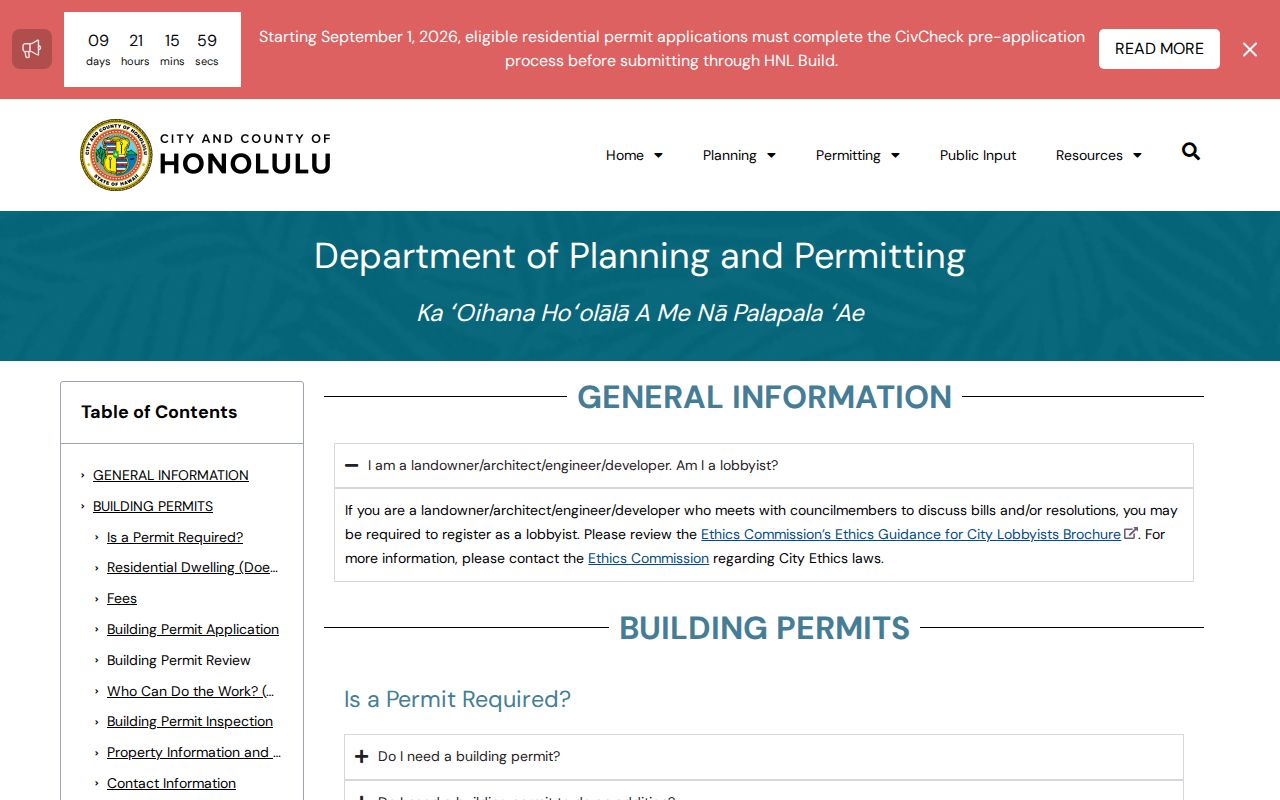
It also explains a key offline path: permits before January 1972 are not online and must be pursued through DAIB with the TMK.
The Honolulu permit open-data view offers a second route.
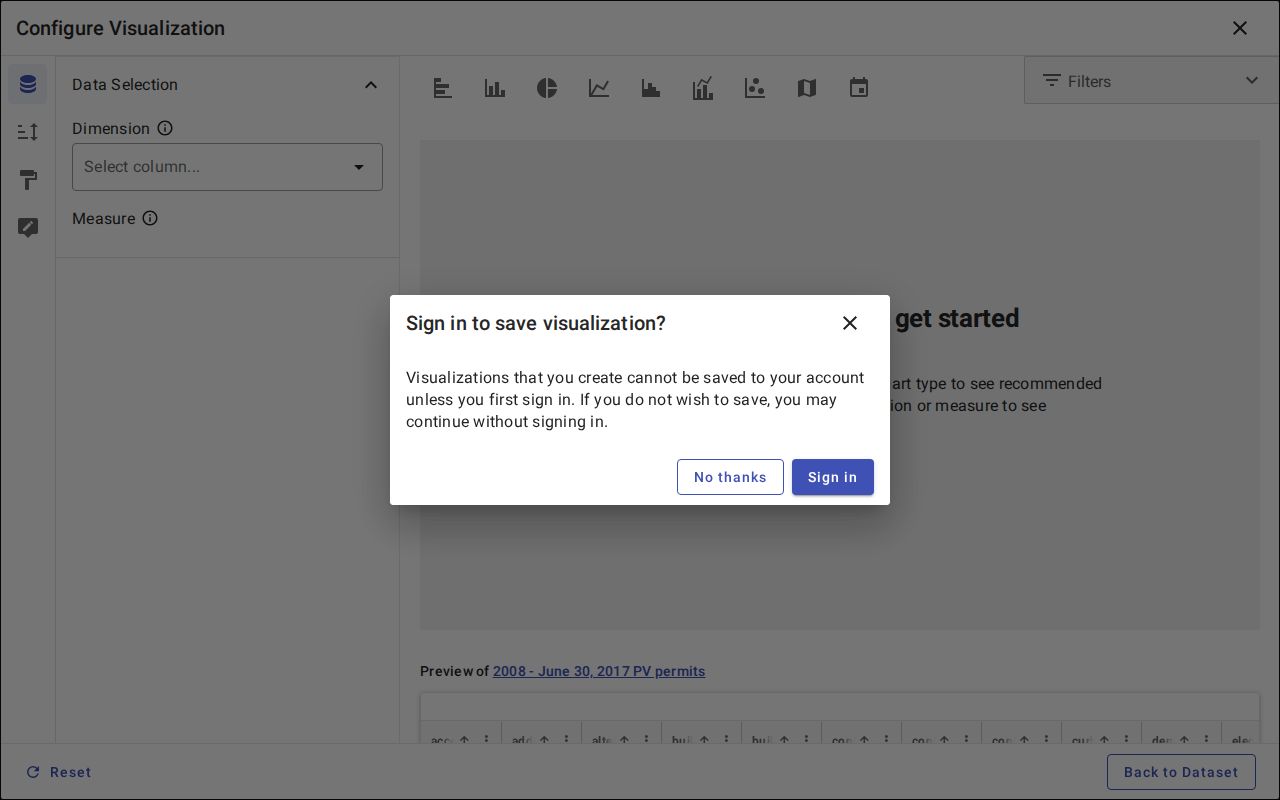
The dataset supports a street work timeline. Full plans and older files still require the records desk.
For an older file, first copy the twelve-digit TMK from RPAD or HoLIS and keep the street wording exactly as the historic source prints it. Ask DPP's Data Access and Imaging Branch, or DAIB, whether it holds the permit jacket, plans, application, or completion material for that parcel. Include the approximate work date and permit number when known. If the online record omits a document, use the department's written records channel and ask whether part of the file can be released after protected details are removed. A Sanborn map, annual directory, deed, and assessment card can narrow the date range before the request. This fallback matters along Honolulu streets because a blank HNL Build result may mean the work predates January 1972, not that the building never changed.
Note: Verify any permit warning through DPP because the city issued a fake-violation notice alert on July 15, 2026.
Honolulu Street Voter Limits
Hawaii Online Voter Registration lets a voter register, update, or confirm that voter’s own status. It is not a public name search. HRS sections 11-14 and 11-97 allow limited general-register information under election and government-purpose rules, while Social Security numbers, state identification data, and other sensitive fields remain restricted. Protected-voter procedures can hide a residence when disclosure creates a threat.
For a lawful request, ask the Office of Elections or Honolulu County Elections what fields, purpose statement, form, fee, delivery method, and current restriction apply. Do not infer party affiliation because Hawaii registration has no party-affiliation field. A blank or withheld result does not show that a home is vacant.
Older Honolulu Street Addresses
The 1908 Honolulu directory includes a street index that can move from an address to the alphabetical entry. Earlier volumes may require the reverse path: find the person by name, read the printed address, then compare that wording with a deed, plat, or map. Honolulu’s older trail includes Kingdom and Territorial works, Husted and Polk-Husted editions, telephone books, and island directories. The collection is detailed on the Honolulu city directories page.
No official complete citywide street-renumbering crosswalk or verified single renumbering year was found. Do not force a modern address into an old book. Use State Archives roads files, the 1908 street index, Sanborn maps, deeds, plats, and current HoLIS together. Keep ʻokina and kahakō forms as well as plain-keyboard variants, since an index may use either.
Honolulu Street Directory Limits
Public records favor owners, official parties, registered voters under controlled rules, permit participants, and subscribers who appeared in a directory year. They do not expose every renter, child, relative, guest, or household member. Utility and delivery customer data are not public street rolls. Driver records are restricted by federal law. Address Confidentiality Program participants receive substitute-address protections, and sealed records stay outside a street search.
Commercial compilations can merge old marketing data with public filings, but they are not an official street directory. Confirm each useful claim with RPAD, BOC, DPP, elections officials, or the named library and archive. Avoid publishing sensitive phone, email, signature, account, or protected-address details even when an old image contains them.
Lawful use. Honolulu records support title research, family history, scam checks, and civic curiosity. Hawaii law does not permit stalking, harassment, threats, or intimidation.